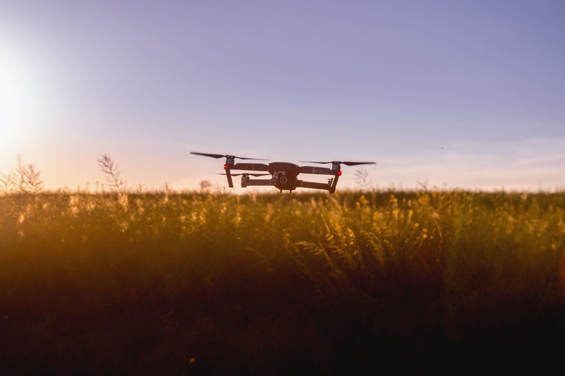
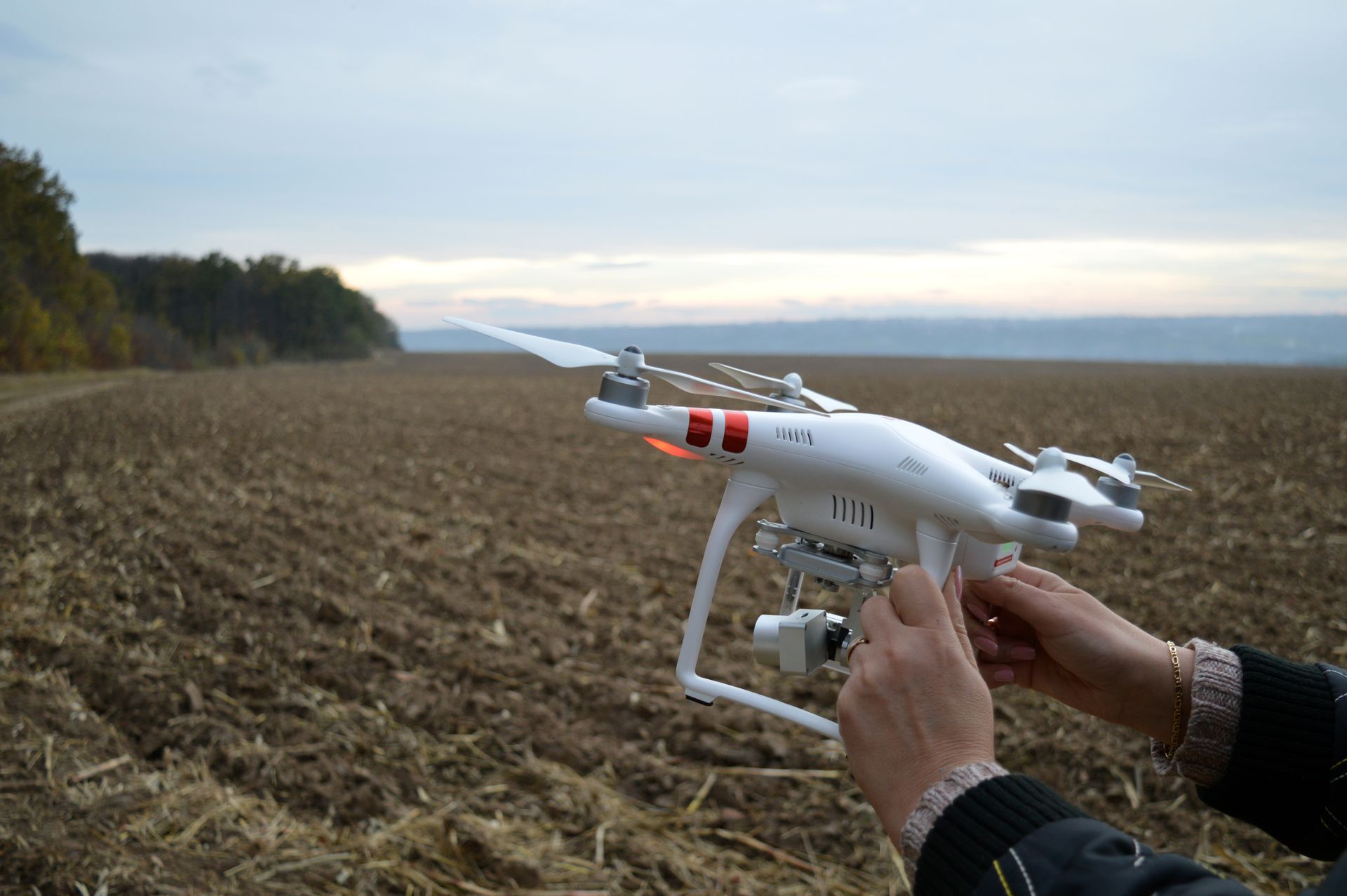
Drone mapping and aerial photography services you can trust.
PeakAero prides itself on developing premium aerial images and drone data you can put to work for your industry.
Alata
Alice
Open Sans
Noto Sans
Bebas Neue
Great Vibes
Rock Salt
Exo
Belgrano
Overlock
Cinzel
Indie Flower
Staatliches
Roboto Slab
Lato
Noto Serif
Open Sans
Montserrat
Ubuntu
Rubik
Delius
Amiri
Montserrat
Our Drone Service Verticles
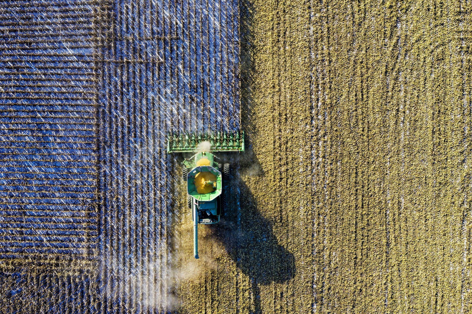
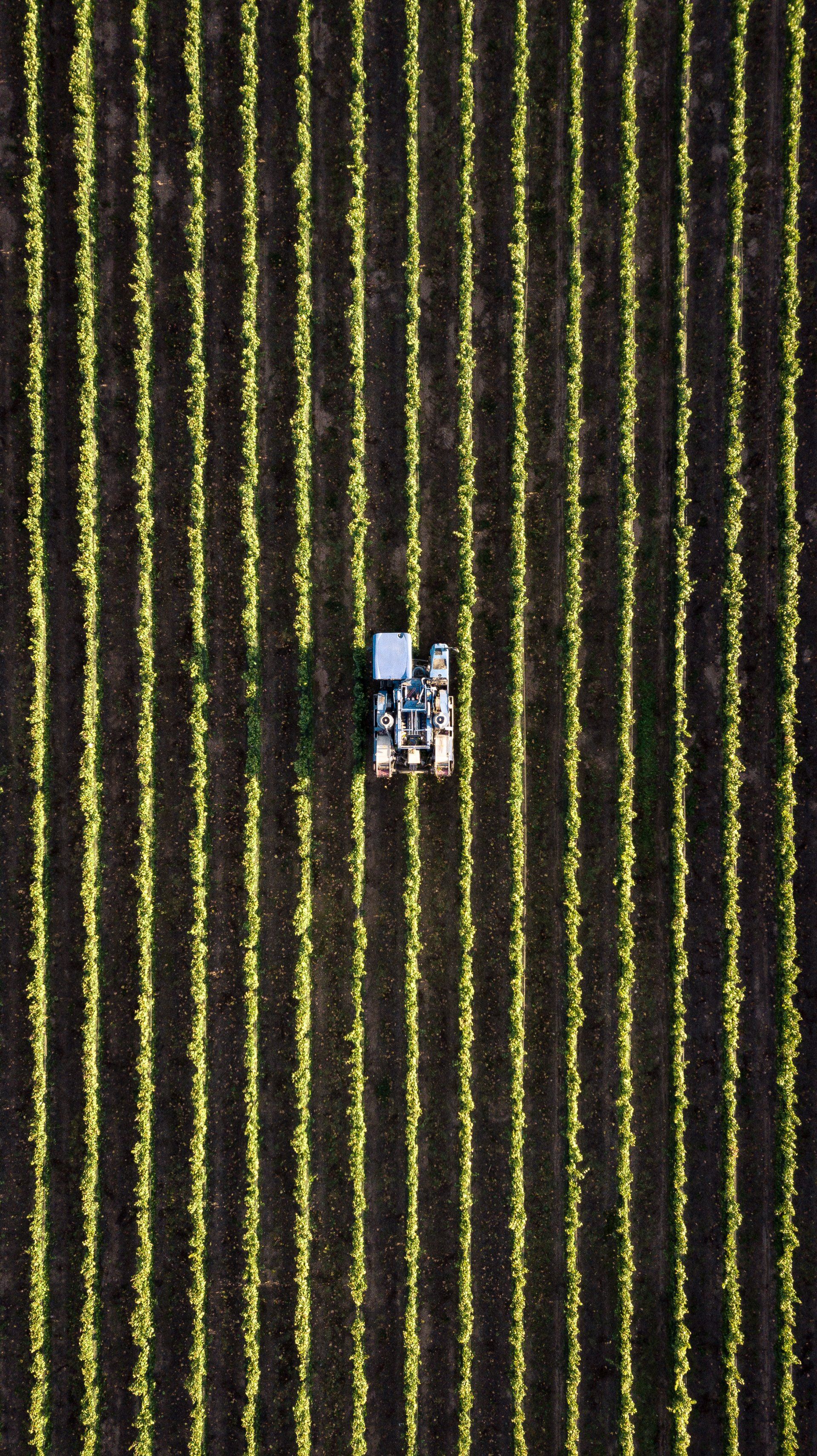
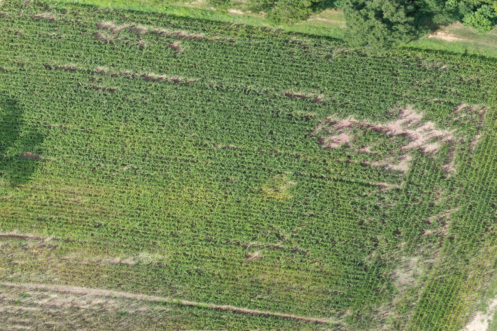
Agriculture
- Field surveys and maps
- Stand count
- Plant health analysis
- Orthomosaic and Digital Surface Models
- Crop Damage Assessments
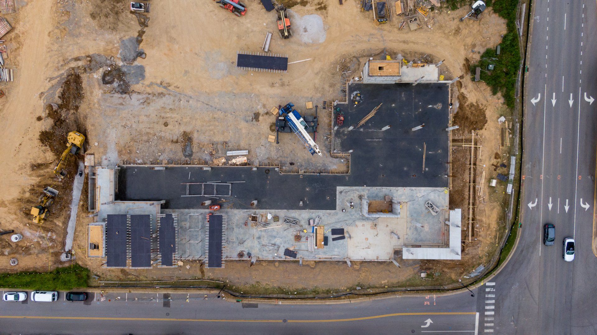
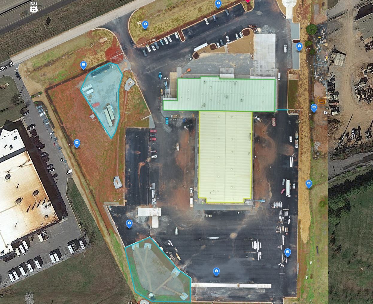
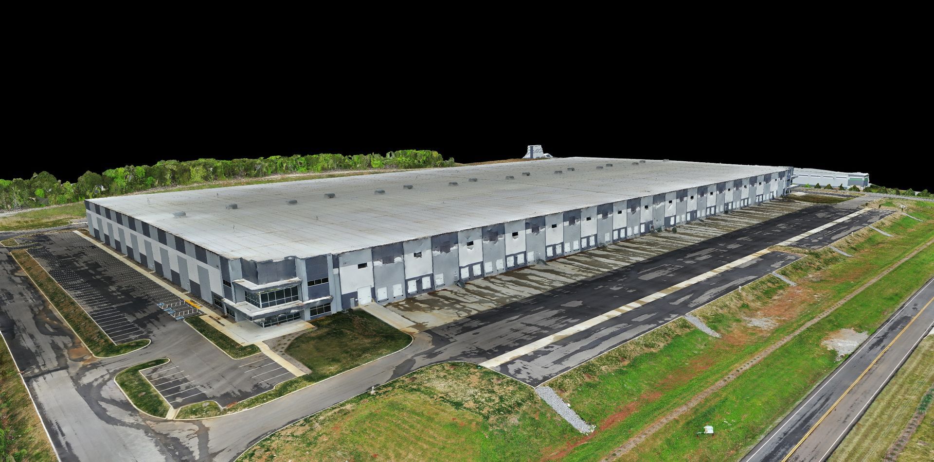
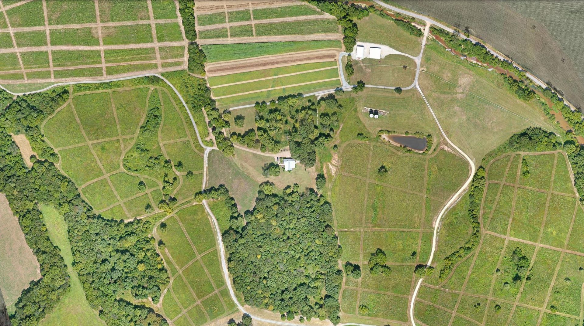
Construction
We offer a full suite of services to the construction industry.
- PRECON site mapping
- Highly accurate Orthomosaics, Point Clouds, and Digital Surface Models
- Construction progress photos and videos
- Cut/Fill, linear, and area measurements
Insurance
- Roof inspections
- Pavement inspections
- Post disaster documentation
- Crop Damage
Real Estate
- Commercial, Industrial, and Residential Real Estate videos and photography for listings and marketing
- Site condition surveys
- Property management support
Drone data for actionable insights